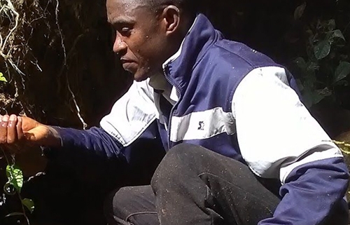
Torwon T. Yantay
Torwon is trained in Cartography Science (GIS & RS) with 15 years professional work experience, skills, and training in map making and design (analog & digital designing). He has worked on many projects both within and outside of Liberia. He has also been trained in research design, data collection and different image analysis, using variety of GIS and Remote Sensing software, and led the boundary line demarcation of the Gola Forest National Park in 2018.
For the past 4 years, Torwon has worked with the Society for the Conservation of Nature of Liberia (SCNL) in several different capacities: Science and Conservation Officer, Field supervisor, and Project Coordinator (GLA).


